
United States
Big Sur
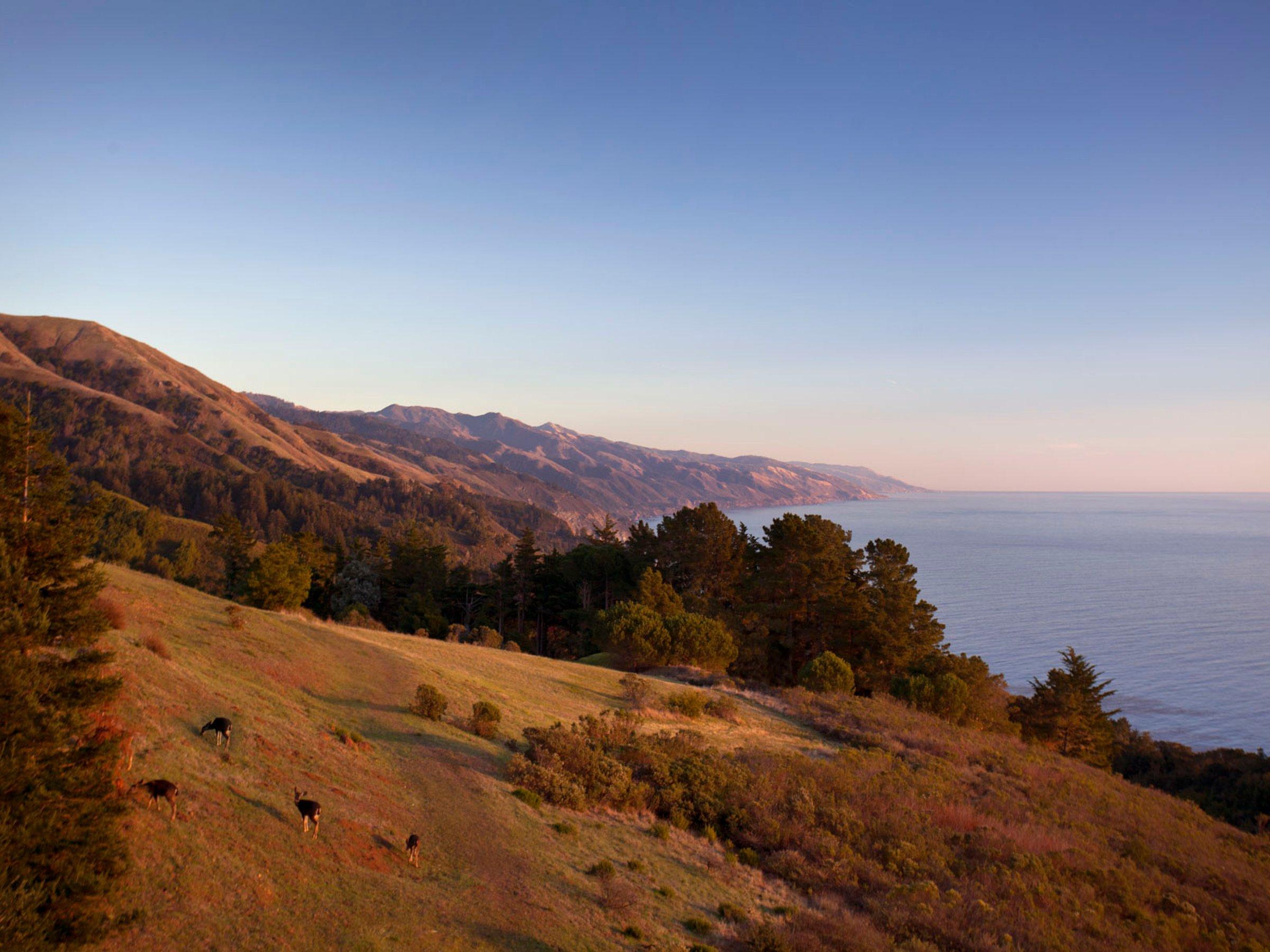
The addresses in Big Sur are numbers on Highway 1, with no town to go in front of them. The road runs about 71 miles from Carmel to San Simeon, two lanes cut into the Santa Lucia Mountains where they drop almost straight into the Pacific, and it does not always stay put. Storms and fire have shut stretches of it for days or weeks, so checking Caltrans' road conditions before setting out is routine rather than cautious.
Winter is when the road goes. November to March brings the heaviest rain and the washouts with it, and the grey whales passing south in December and January are little use to anyone stuck behind a landslide. Go in April or May, for the wildflowers, or in September and October, when the summer fog has mostly lifted and the crowds have thinned. Summer is the warmest and busiest, and wants booking well ahead. Fog can come in any month, and on a coast this steep it takes the view with it.
Where to stay depends on how much road you want between the bed and the bakery. Big Sur Village is a mile of everyday things, the bakery among them, around Pfeiffer Big Sur State Park and its redwood trails. Posts, five miles further south, has most of the well-known hotels and restaurants, on land the Post family worked from the mid-1800s; part of what they sold became Post Ranch Inn and Ventana. For a first visit, Posts is the one. Past Esalen and Lucia to Gorda, the south coast has long gaps between its few hotels, which suits anyone who came for the gaps. A car is the only real way along it, and the phone signal comes and goes.
The days go up and down the road. Thirteen miles south of Carmel it crosses Bixby Creek on a single concrete arch of 1932, 280 feet up. Pfeiffer Beach, at the end of 2.2 narrow, unmarked miles of Sycamore Canyon Road, has purple-tinted sand and the Keyhole Arch. The current is dangerous enough that swimming is discouraged, so it is a beach for standing on. In Julia Pfeiffer Burns State Park, a mile there and back reaches the overlook for McWay Falls, an 80-foot drop onto the beach below, which is a lot of waterfall for a mile's walk.
Nepenthe has been open on the same cliff since 1949, 808 feet above the Pacific, and its terraced deck is where to watch the sun go down. The cliff has held all that time, which is more than can be said for the road.
- Best months
- April and May, and September and October
- Avoid
- November to March, when winter storms can trigger landslides and close stretches of Highway 1 for days or weeks
- Nearest airport
- Monterey Regional Airport (MRY)
- Transfer
- about 45 minutes by car to the north end of the coast, nearer an hour and a quarter to Posts, depending on traffic and how far down Highway 1 you are headed
Neighbourhoods
- The south coast
Where to stay
2 hotels
2 hotels
 Grown-up
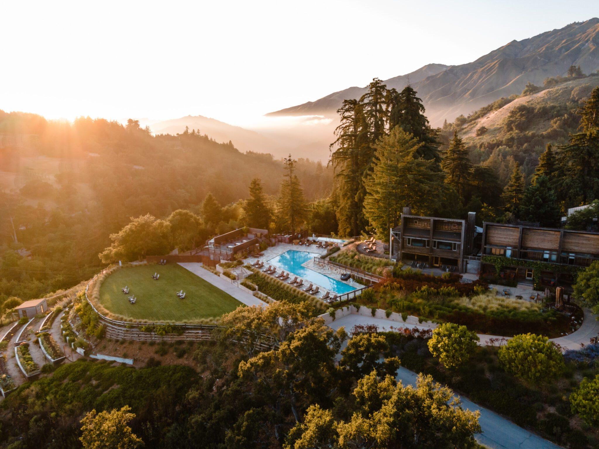
Alila Ventana Big Sur
££££Big Sur, United States
Japanese hot baths kept at 104°F all year in the redwoods above Big Sur, at a resort where dinner is already paid for.
 Grown-up
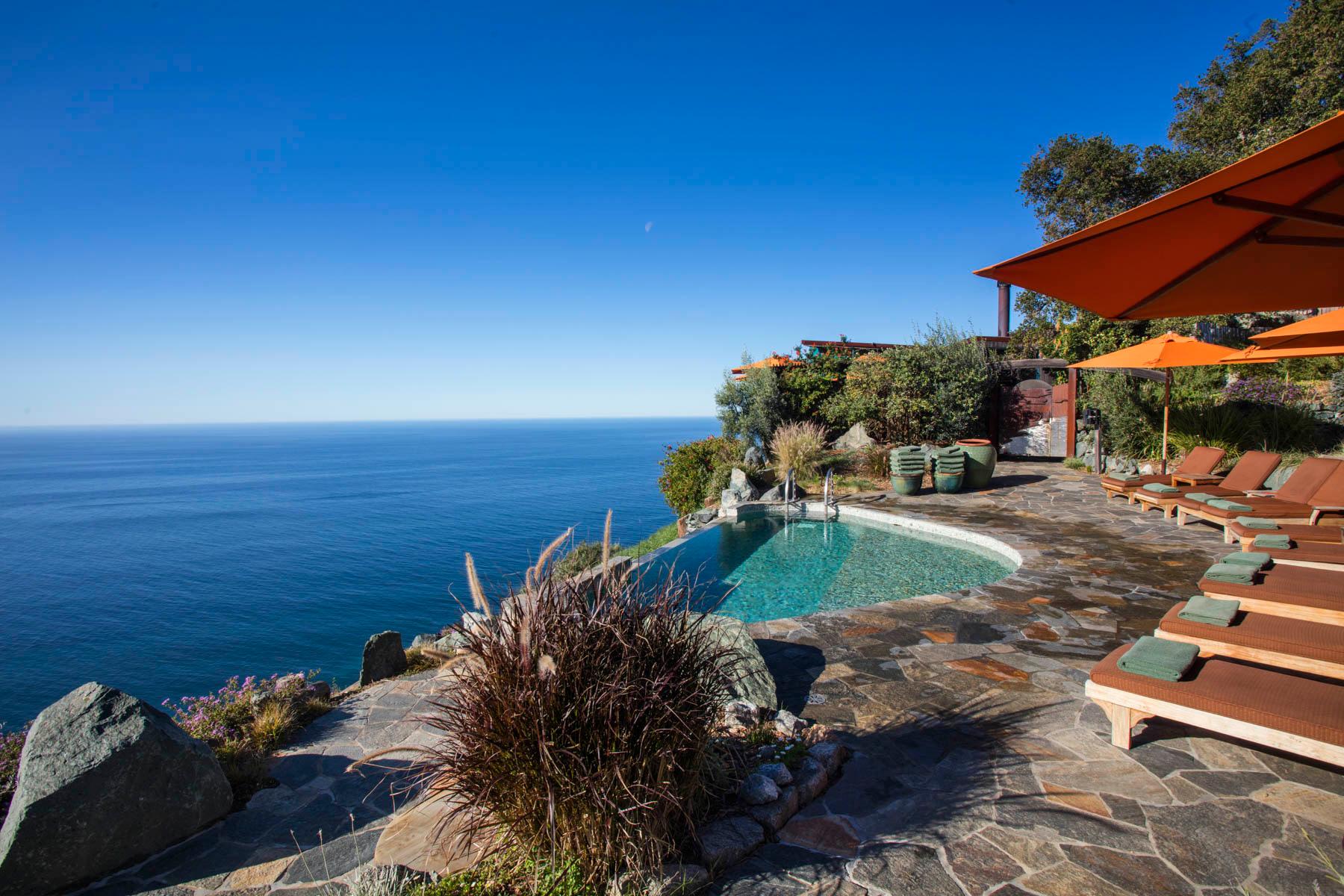
Post Ranch Inn
££££Big Sur, United States
Mickey Muennig's houses on a Big Sur cliff 1,200 feet above the Pacific, some with grass and wildflowers for a roof, and two pools as hot as a bath with the ocean for a far end.
Where to eat
3 restaurants
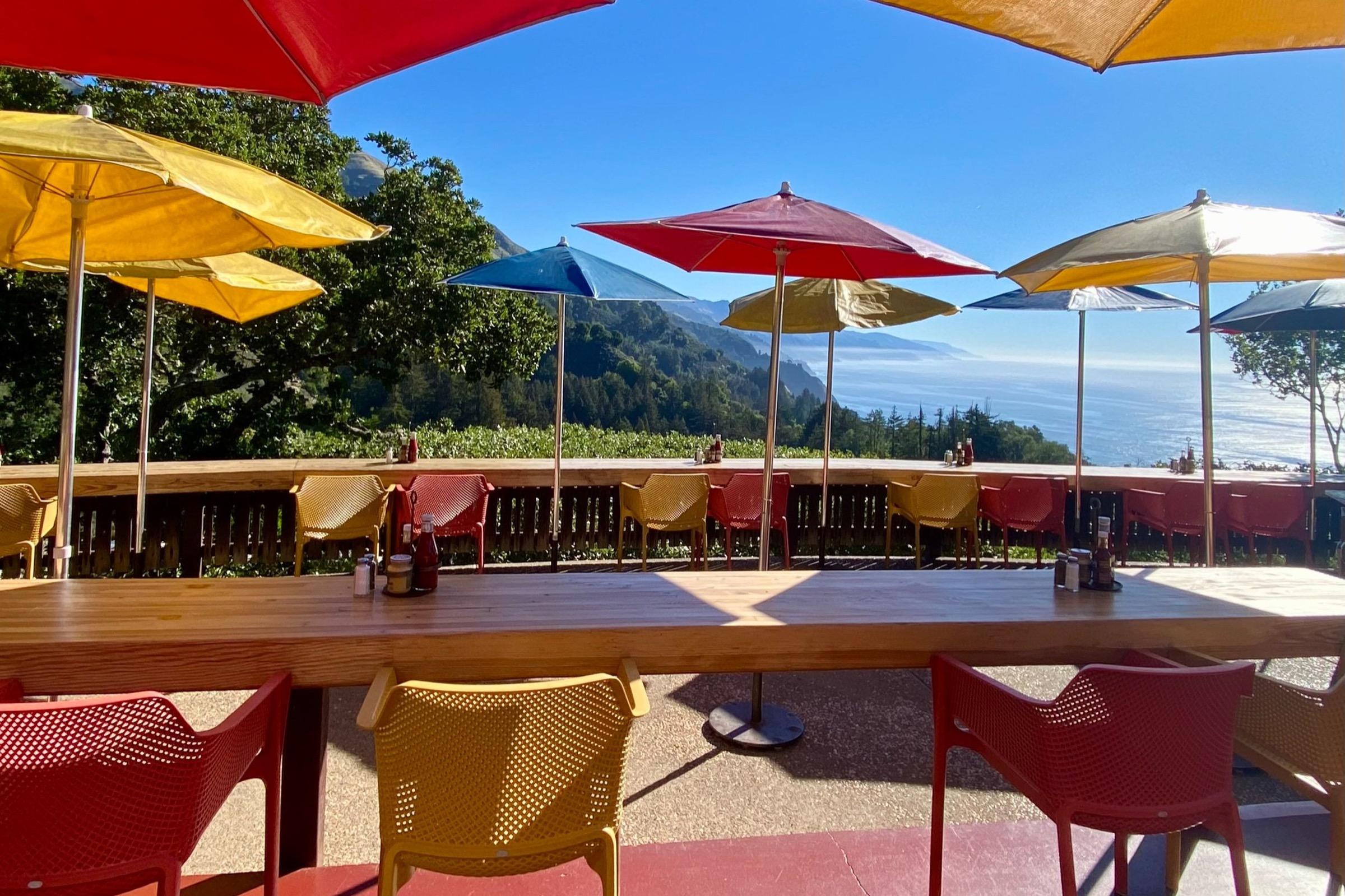
Nepenthe
£££ · Recommended
Posts · Californian
An Ambrosiaburger on a cliff-top terrace 808 feet above the Pacific, open on the same spot since 1949.
Reviewed in The Infatuation
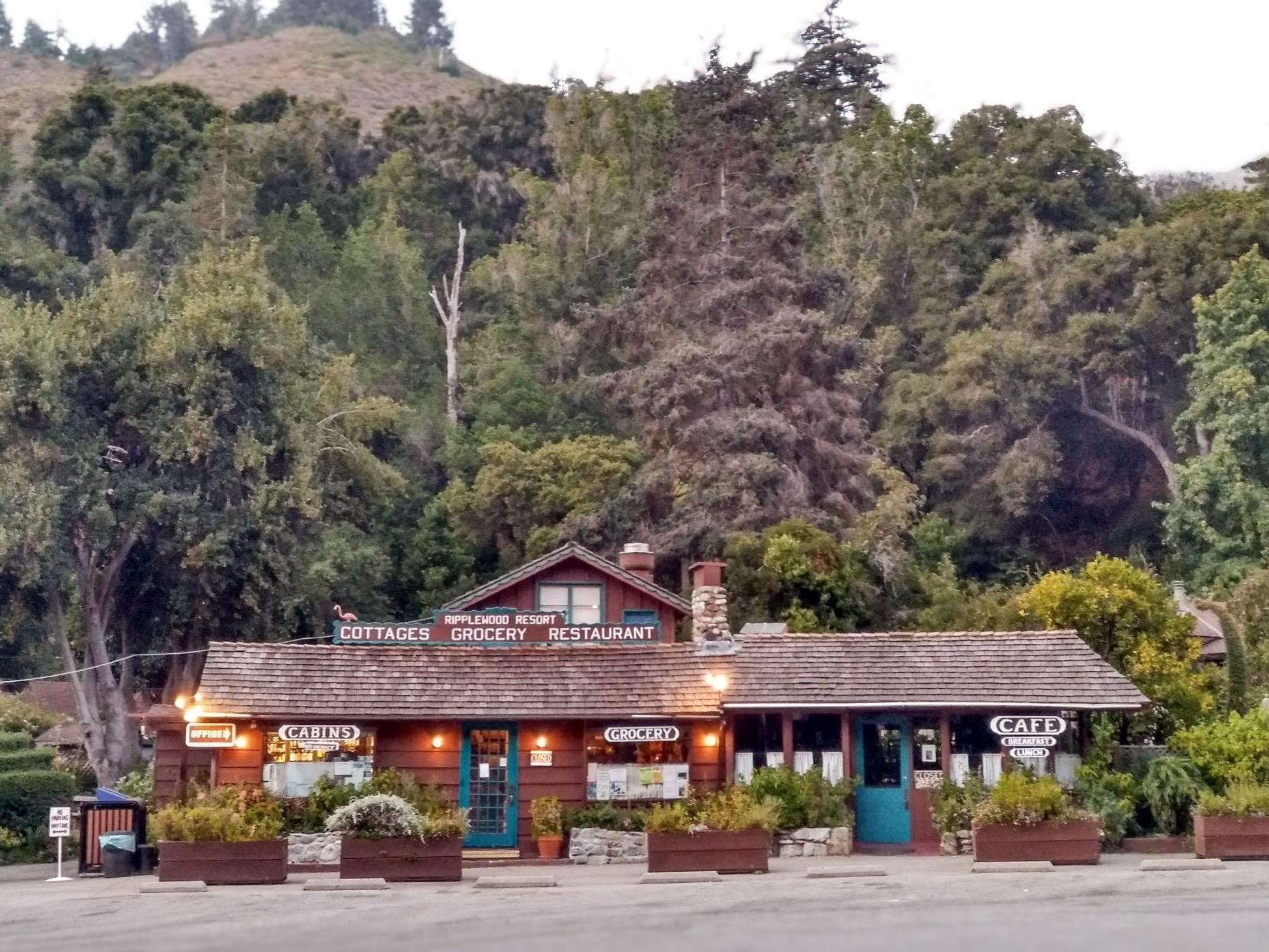
Ripplewood Cafe
£ · Recommended
Big Sur Village · American and Mexican, breakfast and lunch
Eggs benedict and chorizo omelettes on a garden patio by the Big Sur River, open since 1928.
Reviewed in The Infatuation
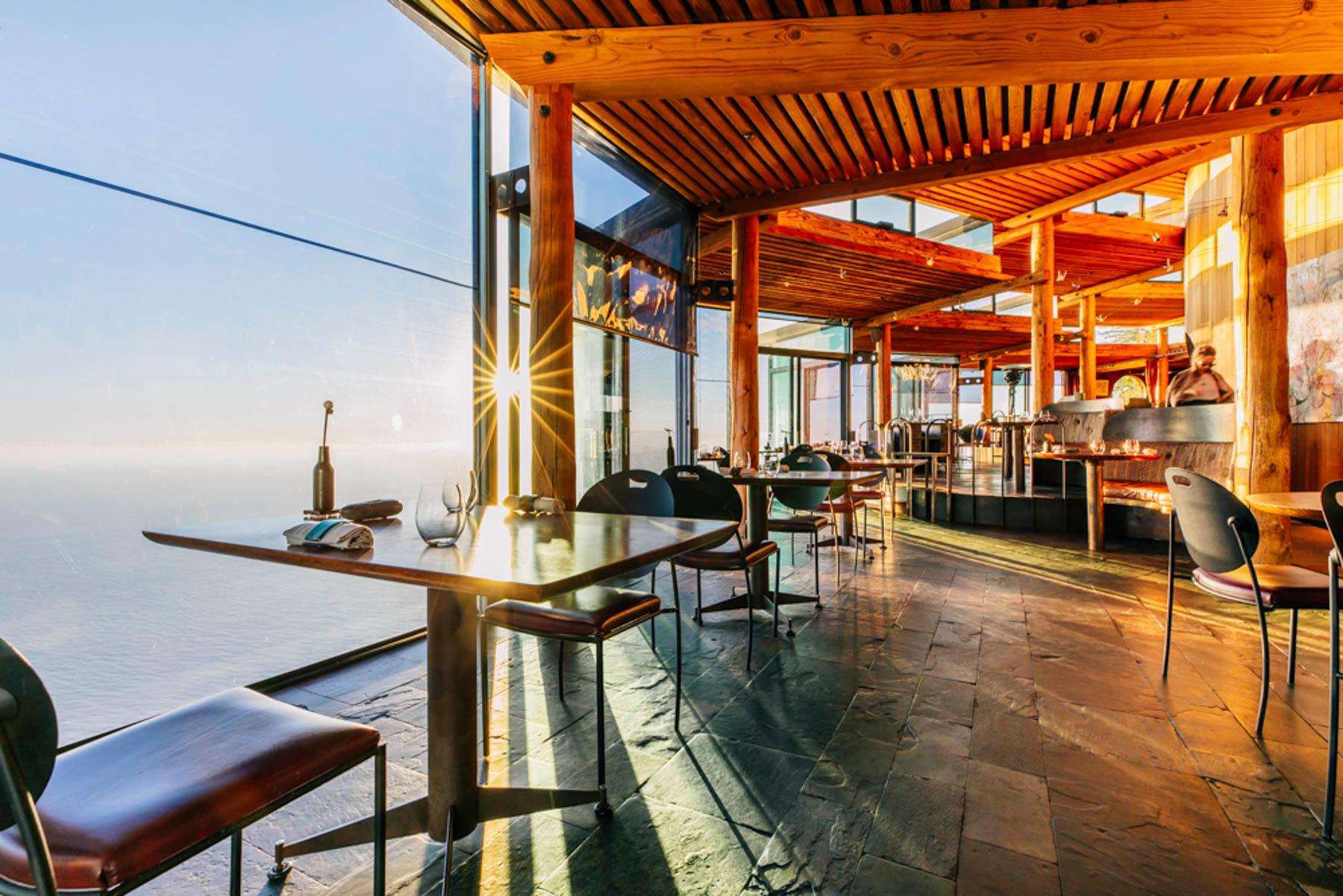
Sierra Mar
££££ · Recommended
Posts · Californian, farm-driven
A prix-fixe tasting menu in an all-glass dining room suspended above the Pacific, up a lighted cliffside staircase.
Reviewed in the Michelin Guide and The Infatuation